Azure AI Foundry vs AWS Bedrock: Which Enterprise AI Platform Wins in 2025?
Azure AI Foundry is reshaping how enterprise teams build, deploy, and govern AI at scale, and the comparison with AWS

Patient data systems, compliance reporting, and workflow automation for regulated environments.
Real-time tracking, route optimization, and inventory visibility across your distribution network.
Scale your product infrastructure, integrate third-party tools, and ship features faster with reliable ops.
Secure transaction processing, regulatory reporting, and customer-facing portals for financial services.
This use case differs from fleet tracking because the tracked asset is a shipment, not a company-owned vehicle. Freight brokers work with carrier partners who may run their own telematics systems. The challenge is pulling location data from multiple sources into a single coherent view.
Azure Maps handles this through its Spatial IO capabilities. You can ingest location feeds from carrier EDI 214 feeds translated to coordinates, third-party telematics APIs (Samsara, KeepTruckin) pulled in via Azure API Management, or driver check-in apps built directly on the Azure Maps SDK. The result is a map view showing all active shipments, color-coded by status (on-time, at-risk, delayed), with geofence triggers that fire when a truck enters a delivery terminal.
If your operations team already uses Power BI dashboards for performance tracking, adding a live shipment location layer is achievable without building a separate application.
The broader supply chain visibility trend has real business stakes. According to Gartner, real-time visibility is a top three investment priority for supply chain leaders. SMB freight brokers who give shippers a live tracking portal differentiate themselves from brokers who send status-update emails.


Written by Rohit Dabra
Co-Founder and CTO, QServices IT Solutions Pvt Ltd
Rohit Dabra is the Co-Founder and Chief Technology Officer at QServices, a software development company focused on building practical digital solutions for businesses. At QServices, Rohit works closely with startups and growing businesses to design and develop web platforms, mobile applications, and scalable cloud systems. He is particularly interested in automation and artificial intelligence, building systems that automate routine tasks for teams and organizations.
Talk to Our ExpertsAzure AI Foundry is reshaping how enterprise teams build, deploy, and govern AI at scale, and the comparison with AWS
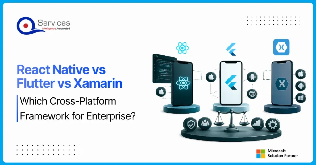
React Native is a cross-platform framework built by Meta that allows development teams to write a shared JavaScript codebase and deploy to both iOS and Android. For enterprise architects evaluating mobile strategy in 2025, the choice between react native development, Flutter, and Xamarin goes well beyond which syntax your team prefers. It touches deployment timelines, maintenance costs, existing skill sets, and how tightly the front end needs to connect to your backend infrastructure.
This post breaks down all three frameworks across performance, developer experience, enterprise support, and Azure cloud integration. By the end, you’ll have a clear picture of which framework fits your organization, and when alternatives like Power Apps make more sense than a custom mobile build.

AI agent governance is the practice of establishing policies, controls, and human oversight mechanisms that determine how AI agents operate, make decisions, and interact with business systems. For enterprises deploying AI today, this isn’t optional paperwork. It’s the difference between AI that delivers measurable value and AI that creates liability.
The pressure to ship AI quickly is real. Microsoft Copilot, Azure OpenAI, and Power Platform’s AI Builder have made it easier than ever to wire autonomous agents into workflows. But “easy to deploy” doesn’t mean “safe to leave unsupervised.” Every enterprise that skipped governance in the rush to launch has eventually paid for it, whether through data leaks, compliance failures, or decisions no one can explain to an auditor.
This post covers why human-in-the-loop (HITL) oversight is non-negotiable for enterprise AI, what a real governance framework looks like, and how QServices approaches this with clients across healthcare, banking, and logistics.
Power Platform Premium Connectors vs Standard: A Cost Decision Guide Rohit Dabra | June 15, 2026 Table of Contents Facebook-f

Azure AI Foundry is Microsoft's unified platform for building, evaluating, and deploying enterprise-grade AI applications at scale, and since its
Azure pipelines yaml is where most .NET teams either save hours every week or create a maintenance nightmare that nobody


React Native is a cross-platform framework built by Meta that allows development teams to write a shared JavaScript codebase and deploy to both iOS and Android. For enterprise architects evaluating mobile strategy in 2025, the choice between react native development, Flutter, and Xamarin goes well beyond which syntax your team prefers. It touches deployment timelines, maintenance costs, existing skill sets, and how tightly the front end needs to connect to your backend infrastructure.
This post breaks down all three frameworks across performance, developer experience, enterprise support, and Azure cloud integration. By the end, you’ll have a clear picture of which framework fits your organization, and when alternatives like Power Apps make more sense than a custom mobile build.
AI agent governance is the practice of establishing policies, controls, and human oversight mechanisms that determine how AI agents operate, make decisions, and interact with business systems. For enterprises deploying AI today, this isn’t optional paperwork. It’s the difference between AI that delivers measurable value and AI that creates liability.
The pressure to ship AI quickly is real. Microsoft Copilot, Azure OpenAI, and Power Platform’s AI Builder have made it easier than ever to wire autonomous agents into workflows. But “easy to deploy” doesn’t mean “safe to leave unsupervised.” Every enterprise that skipped governance in the rush to launch has eventually paid for it, whether through data leaks, compliance failures, or decisions no one can explain to an auditor.
This post covers why human-in-the-loop (HITL) oversight is non-negotiable for enterprise AI, what a real governance framework looks like, and how QServices approaches this with clients across healthcare, banking, and logistics.